S Series
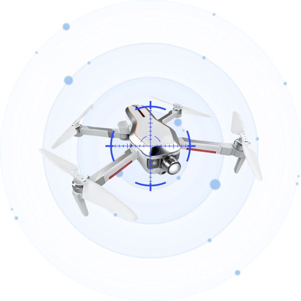
A high-performance GNSS spoofing system supports multiple global navigation satellite systems (GPS, GLONASS, BDS, and Galileo). It precisely misguides or redirects unauthorized drones. With full-airspace protection and 24/7 operation capability, the system delivers reliable GNSS-based mitigation in complex environments.

Full Constellation Coverage
Simultaneously spoofs GPS, GLONASS, BeiDou, and Galileo across all frequency bands (L1, L2, L5, E1, E5, E6, B1, B2, B3), leaving no satellite signal unaddressed.
High-Resolution Navigation Injection
Precision spoofing signals ensure smooth, convincing flight-path manipulation, minimizing the risk of erratic drone behavior that could pose secondary hazards.
Minimal Environmental Impact
The directional spoofing waveform confines signal influence to the target area, significantly reducing disruption to legitimate GNSS users in the surrounding environment.
Specifications
Technical Specifications
| Effective Spoofing Range | 0~1km |
| Coverage | 360° full airspace, omnidirectional |
| Power Supply | AC 110V – 240V |
| Power Consumption | Standby ≤ 40W (±5W); Spoofing ≤ 350W (±5W) |
| Continuous Operation | ≥ 24 hours (on fixed AC power) |
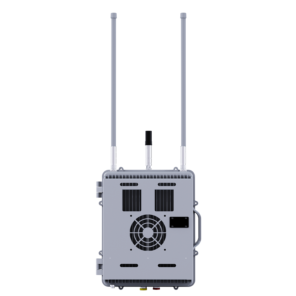
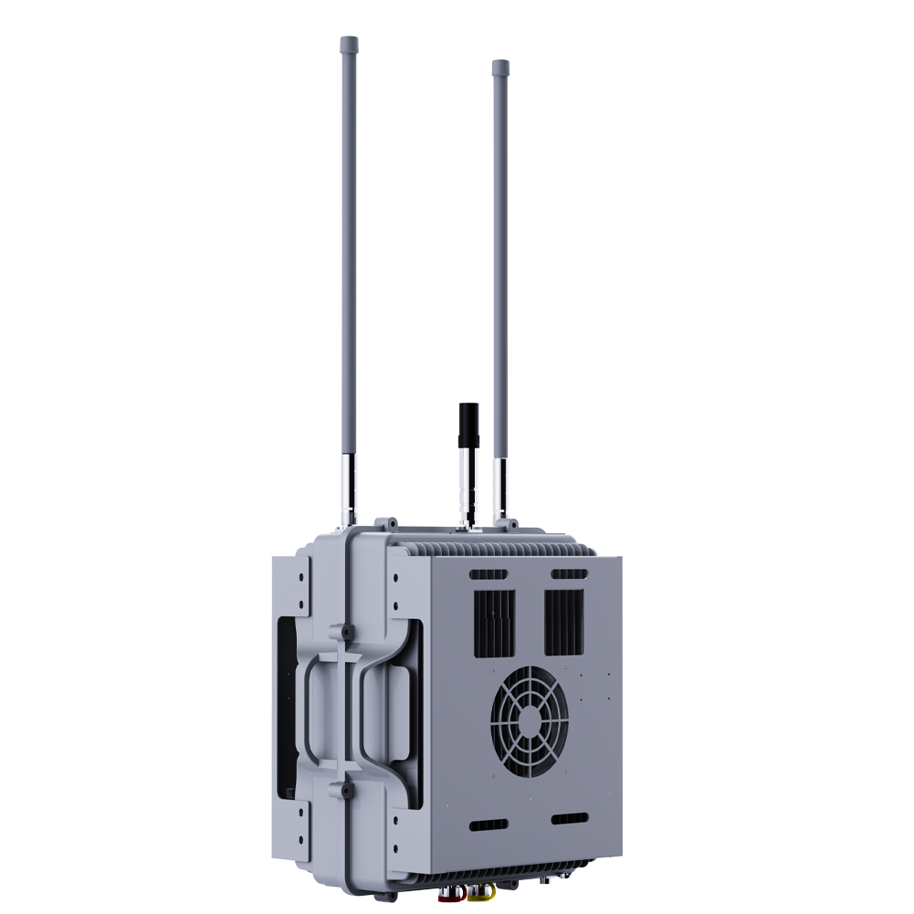
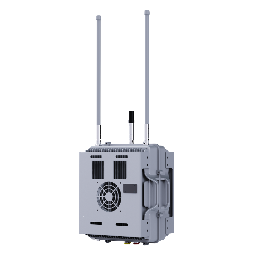
| Dimensions | 371 × 306 × 207 mm (±5 mm, antenna excluded) |
| Weight | ≤ 14 kg (antenna excluded) |
| Operating Temperature | -40°C to +70°C |
| Ingress Protection | IP65 |
Supported GNSS Signals
| GPS | L1: 1575.42 MHz, L2: 1227.60 MHz, L5: 1176.45 MHz |
| GLONASS | L1: 1602.5625 MHz, L2: 1246.00 MHz, L3: 1202.025 MHz |
| BDS | B1I, B1C, B2, B3 |
| Galileo | E1, E5, E6 |
The S Series is a high-performance GNSS spoofing system engineered to misguide or redirect unauthorized drones by injecting counterfeit satellite navigation signals. Supporting all four major global navigation satellite constellations — GPS, GLONASS, BeiDou (BDS), and Galileo — it provides full-spectrum coverage across every frequency band used by modern UAVs.
With 360° omnidirectional spoofing capability and a range exceeding 1 km, the S Series delivers reliable, non-kinetic drone mitigation in the most demanding environments. Its 24/7 continuous operation and wide temperature tolerance make it ideal for permanent installation at critical infrastructure sites.




Product Inquiry
We will contact you within one working day. Please pay attention to your email.
Connect with us
Ready to Secure Your Low-Altitude Airspace?