Multi-tech Fusion Drone Detection Solution
Multi-tech Fusion Drone Detection Solution

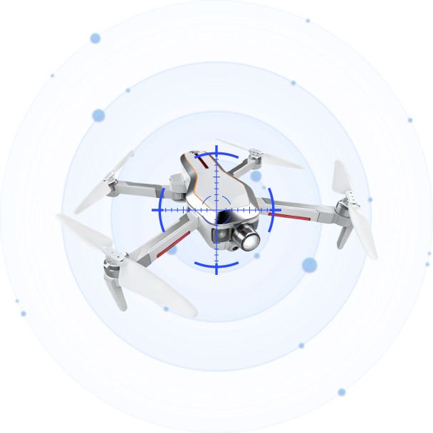
The Multi-Technology Fusion Drone Detection System combines radar, EO/IR, and RF systems to provide real-time detection and identification of low-altitude targets.

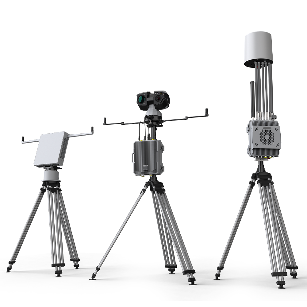
An open, vendor-neutral API architecture enables rapid integration of radar, RF, and EO sensors through standardized data interfaces. A single software engine manages any device combination and automatically merges multi-source detections into unified threat data, while retaining drill-down access to individual sensor details.

Unlike passive-only designs, our EO/IR sensor supports both autonomous scanning and guided confirmation. It independently detects drones to fill the radar’s 200–300 m near-field blind zone, while auto-confirming radar targets upon visual verification — a dual-mode capability that exceeds industry peers.

Each sensor node can be deployed independently, whether co-located or distributed across multiple positions. Detection gaps are addressed by adding supplementary devices — such as grid-deployed EO/IR sensors — allowing the system to scale from single-station to multi-node networked configurations as security needs evolve.

Following the “Detect → Guide → Lock → Engage → Assess” chain, the platform seamlessly hands off confirmed targets to precision jamming, wideband suppression, GNSS spoofing, or navigation defense — all controllable from the same unified interface with whitelist/blacklist protection and autonomous unattended operation.
Key Advantages
All sensor data is presented on a single operational dashboard, enabling operators to accurately determine a drone’s position and type. Radar detects RF-unidentified UAVs and airborne debris that radio-based systems miss, while the EO sensor provides visual confirmation—each modality covering the other’s blind spots.
Unlike competing solutions where EO sensors only respond to passive cues from other sensors, our electro-optical system supports both active autonomous detection and passive guided confirmation. When not actively guided, the EO sensor independently scans and detects drones, filling the radar’s near-field blind zone (200–300 m) and providing an extra layer of autonomous protection—a capability that exceeds industry peers.
Each sensor node supports distributed deployment. Detection gaps can be addressed by adding additional devices—for example, deploying multiple EO sensors in a grid pattern to eliminate line-of-sight dead zones. This modularity allows the system to scale and adapt to diverse site topographies.
Current low-altitude radar AI algorithms have limited UAV identification accuracy and produce clutter, requiring human judgment or EO visual confirmation to reduce false positives.
Connect with us
Ready to Secure Your Low-Altitude Airspace?